
Roman roads
Surveying began with the route’s purpose
A Roman road connected destinations through real terrain rather than tracing a straight line at any cost. Surveyors could favour direct stretches while adjusting for gradients, river crossings and unstable ground. A groma helped establish straight alignments and right angles. Evidence for a particular construction method comes from the surviving route and excavated features, rather than from assuming one standard design across the empire.
Water management protected the road structure
An elevated road body and a shaped surface could encourage water to run toward roadside drainage. Keeping the foundation from remaining waterlogged reduced weakening under traffic. Where excavation reveals several stone or gravel layers, their size and arrangement can show how builders distributed load. Local stone, available labour and expected use influenced the finished structure; not every road had a paved stone surface.
Durability depended on repair and continued use
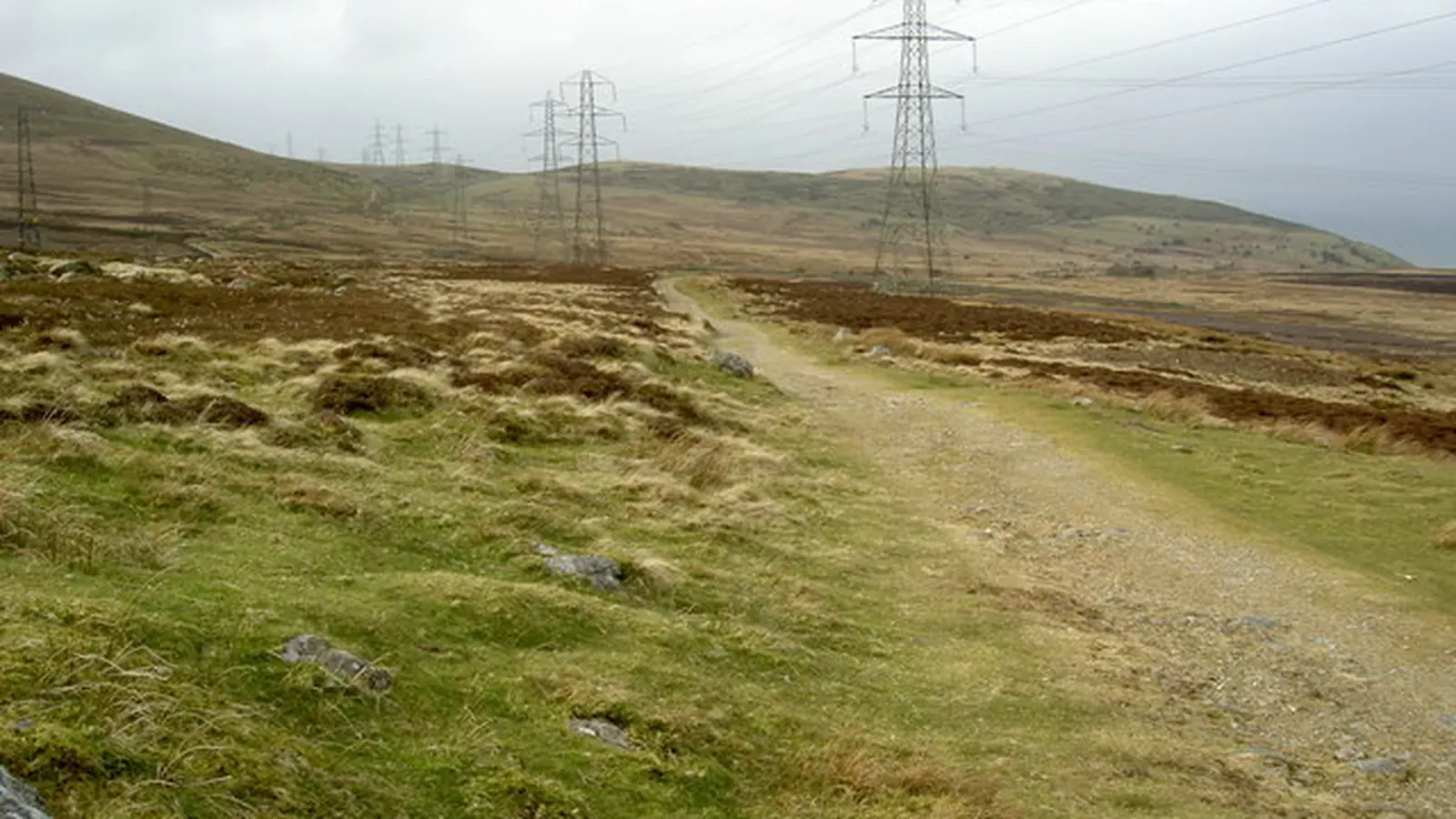
Ruts, damaged surfaces and drainage channels needed attention. A route that remained important could receive repeated repairs or later rebuilding. Surviving stretches therefore combine the original engineering with a history of maintenance, abandonment and reuse. A modern road following a Roman alignment does not establish that its present surface or underlying layers are all Roman.
Archaeologists separate alignment from construction evidence
Earthworks, aerial photographs and mapping can suggest a former road, but excavation provides a different kind of evidence: its width, layers, ditches and relationship to nearby remains. Milestones and inscriptions can illuminate administration and distances without describing every engineering detail. Reading those sources together explains both the impressive survivors and why a universal recipe for an indestructible Roman road would be misleading.
Specialist review of this explanation remains pending.
The foundation supported the traffic above it
Builders prepared the ground and commonly raised the route on an embankment called an agger. Compacted material and selected stone or gravel created a stable running surface. The familiar diagram of four identical layers is not a universal Roman specification. Excavations reveal local materials, different construction depths and repeated resurfacing. A road’s structure must be established at the particular site rather than inferred from a textbook cross-section.
Sources and further reading
Keep exploring.
One remarkable idea at a time—nature, science, history and beyond.
Last updated October 30, 2026.

Barnakle Editorial Team
Barnakle Editorial Team is the collective byline used for Barnakle’s editorial articles. The contributor profile explains the team identity and links to the publication’s editorial policies.
More from the editorial team →