
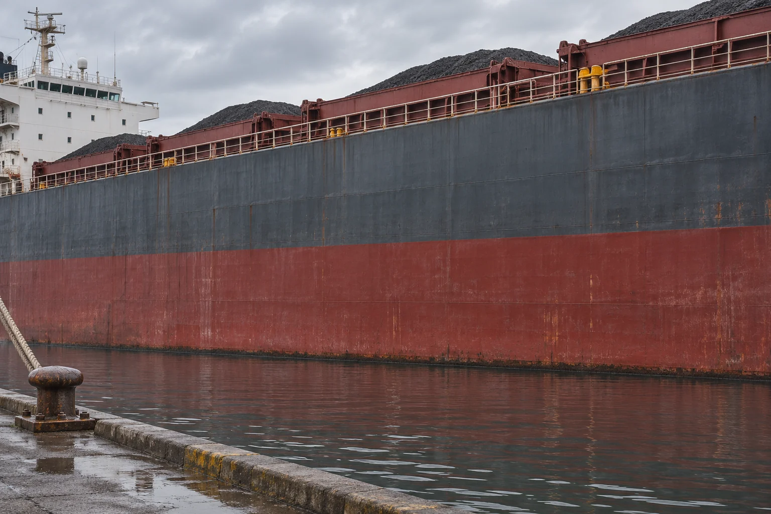
A ship takes on its last container alongside a freshwater quay. Downriver it reaches the sea. Nothing has been unloaded, yet a little more of its hull now shows above the water. That change helps explain a curious symbol painted amidships. Beside a ring crossed by a horizontal stroke, some cargo ships carry a short vertical line with several horizontal branches. All those marks belong to one ship. Which one matters depends in part on the water it is floating in and the voyage ahead.[1, 3]
The symbol is known as the Plimsoll mark, after Samuel Plimsoll, who campaigned against overloaded ships. It records a limit on how deeply a ship may be immersed under specified conditions. A useful way to read it is to follow the measurement in the other direction. Start at the water and look up. How much height does the ship still have between the surface alongside and its reference deck? The regulations express the answer as an assigned minimum freeboard.[1, 2, 5]
Why a floating ship needs a margin
A floating hull pushes aside water whose weight equals the weight of the ship and everything aboard. Lower another heavy load into the hold and the hull settles until it has displaced the extra weight. It may sit perfectly still at the quay. That tells an observer that the upward and downward forces balance in that sheltered water. It says little about what will happen when the vessel meets a wave high enough to wash across a low deck.[1, 2]
Some of the enclosed hull that ordinarily sits above water can provide extra buoyancy as the ship is pushed deeper. Naval architects call this reserve buoyancy. Its usefulness depends on the boundaries of that space keeping the sea out. A low opening that lets water into the hull matters even if the ship has ample height at another point. The international rules consequently address such things as hatchways and doorways along with the freeboard measurement. The painted line is the visible part of an assessment that includes parts of the ship you cannot see from the quay.[2, 5]
Read the upper edge of the stroke
Look first for the horizontal line through the middle of the ring. Its upper edge corresponds to the ordinary summer saltwater load line. A short bar labelled S repeats that level alongside it. Higher up, a separate deck line supplies the reference from which the assigned summer freeboard is measured. These two strokes serve different purposes. One locates a reference on the hull. The other shows how close the water may come to it under that assignment.[3, 5]
It is easy to read the vertical order backwards. The higher a load line sits on the hull, the deeper that hull can settle before water reaches it. The lower the applicable line, the more hull has to stay exposed. A ship at a winter mark below S therefore has a larger freeboard than it would with water up to S. A photograph showing water well below both marks is quite ordinary. A maximum permissible immersion leaves a crew free to carry a lighter load.[1, 3]
The river and the sea ask different things of a hull
Return to the freshwater quay. A cubic metre of fresh water weighs less than a cubic metre of ordinary seawater. For the same ship and cargo, more of the lighter water must be displaced to balance their weight. That takes a greater submerged volume of hull. Once the ship reaches denser seawater it needs less submerged volume and rises. The direction of the change depends on the density difference, without a crane or a pump having to move anything aboard.[1, 3]
The F and TF marks account for freshwater allowances associated with the summer and tropical lines. They are a way of allowing for the change in immersion as a ship passes from one density to another. Harbour water can also be a mixture of salt and fresh water. A surveyor assessing an actual ship can take the density into account. The painted bars give definite reference levels for that calculation, even though a river mouth rarely offers a tidy boundary between one water type and another.[3, 5]
Why there is a winter mark
A winter ocean crossing presents a different question from a freshwater departure. Here the issue is the margin required for the voyage. Seasonal zones and areas are part of the international load-line system. On the familiar set of marks, T identifies tropical conditions, W winter, and WNA a winter North Atlantic assignment where applicable. The visible lettering is therefore a poor thermometer. A warm afternoon at the loading berth does not determine which line applies on a ship’s route.[1, 2, 3]
It also helps to distinguish the load mark from draught figures near the ends of the hull. Figures at the bow and stern let a reader see how deeply those particular parts sit. A ship can have different draughts forward and aft because of the way its weight is distributed. The ring and its companion bars are positioned amidships on both sides. They answer a question about an assigned limit that a series of depth figures alone cannot answer.[1, 5]
Why the line has a person's name
For nineteenth-century British sailors, the dispute over loading was intensely practical. Royal Museums Greenwich describes seafarers who complained of punishment after refusing to sail in ships they considered dangerous. Plimsoll helped make that conflict visible in Parliament. The Merchant Shipping Act of 1876 required load lines. The museum dates the legal fixing of their position to 1894. A requirement to put a mark somewhere on a hull and a rule establishing where it must go were separate achievements.[4]
That distinction survives in the practical value of the modern mark. Paint a stripe at an arbitrary height and the sea will still tell you exactly when it reaches the paint. What makes the observation meaningful is the work behind that height, from the ship’s construction to the waters and seasons of the voyage. Alongside the quay, all that information comes down to something a person in a small boat can see from a few metres away.[2, 5]
Related reading
Sources
- NOAA Ocean Service — What is a Plimsoll line?
- International Maritime Organization — International Convention on Load Lines
- Cornell Legal Information Institute — Lines used with the load line mark
- Royal Museums Greenwich — Samuel Plimsoll and ship safety
- UK Maritime and Coastguard Agency — Instructions to surveyors on international load lines
Keep exploring.
One remarkable idea at a time—nature, science, history and beyond.
Last updated November 21, 2026.

Barnakle Editorial Team
Barnakle Editorial Team is the collective byline used for Barnakle’s editorial articles. The contributor profile explains the team identity and links to the publication’s editorial policies.
More from the editorial team →