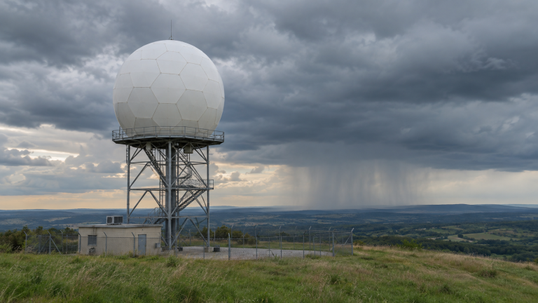

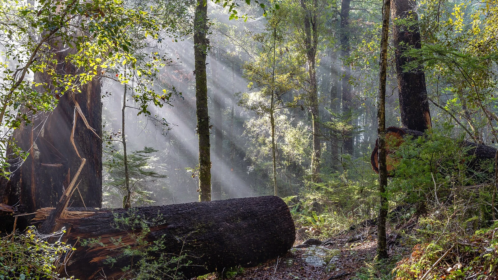
Air near the ground becomes saturated and water vapour condenses into suspended droplets
Fog can fill a valley while a nearby hillside stays clear. It can also arrive from the sea on a day that has not grown especially cold. Those scenes look similar because both contain suspended droplets near the ground, but the route to saturation is different. The landscape, the wind and the movement of moisture decide which route is available.
The visible cloud begins with invisible vapour
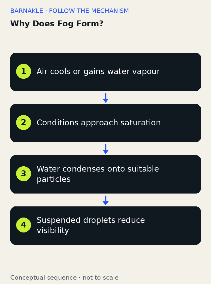
Water molecules continually enter the atmosphere through evaporation and transpiration. Vapour is a gas and cannot be seen; the visible whiteness of fog comes from condensed droplets or ice crystals scattering light.
The maximum equilibrium vapour pressure increases strongly with temperature. Cooling moist air raises relative humidity even without adding water, and reaching the dew point makes condensation favourable.
Droplets usually form around aerosols such as sea salt, dust, smoke or sulfates. These particles offer surfaces and can attract water, reducing the barrier to droplet formation.
Relative humidity compares the actual water-vapour pressure with the saturation value at the current temperature. Cooling can raise that ratio without adding a drop of water. Conversely, adding vapour can bring air toward saturation without an equivalent fall in temperature. Fog forecasting must keep track of both sides of that comparison.
Sources: [1]
Cooling can happen in place or along a journey
Under clear skies and light wind, the ground loses infrared energy and cools adjacent moist air. Fog may develop in low areas before sunrise and dissipate when solar heating restores mixing and evaporation.
Relatively warm moist air moving over cold ocean water, snow or land cools from below. Coastal fog can then travel inland with the wind rather than forming in place during a calm night.
Radiation fog is strongly tied to the surface energy balance. Advection fog is tied to movement across a colder surface. The distinction helps explain why sunshine or a change of wind may clear one situation yet leave another supplied with fresh moist air. The droplets look similar; the processes sustaining them need not be.
Sources: [2]
Water and terrain create other routes to fog
Air forced uphill expands and cools, while cold dense air can drain into valleys and pool beneath warmer air. Terrain organizes temperature and moisture into shallow saturated layers.
Cold air moving over warmer water can receive enough vapour to become saturated, producing steam-like fog. Similar mixing processes occur when two nearly saturated air masses combine.
A valley organizes the flow of dense cold air and can trap a shallow cool layer. A slope can force air upward, allowing expansion and cooling. Warm water can add vapour to colder air above it. These are different ways for local conditions to bring moisture and temperature into a combination that supports condensation.
Sources: [2]
Why fog thickens, clears or freezes
Fog droplets are comparable to or larger than visible wavelengths and scatter colours broadly, creating a white or grey appearance. More droplets and longer paths reduce contrast and visibility.
Strong mixing can bring drier air and disperse a shallow fog, while very calm conditions may limit moisture supply. Sunlight warms the surface and boundary layer, often lowering relative humidity and evaporating droplets.
A fog bank is continually changing. Droplets can grow, settle or evaporate while turbulence mixes air across its boundary. Sunlight often changes the balance by warming the ground and helping mixing develop. Freezing fog adds another hazard: liquid droplets below freezing can deposit ice on surfaces. It is not identical to fog made primarily of ice crystals.
Sources: [2]
Why dawn fog and coastal fog behave differently
After a clear, quiet night, low ground may be foggy at dawn because the surface and its neighbouring air have cooled. On a coast, moist air can instead move over cold water and produce fog that persists despite daylight. Asking where the cooling or added moisture comes from is more useful than assuming every foggy scene is the same weather event.
Radiation, advection and evaporation fog
| Term or component | What it means here |
|---|---|
| Radiation fog | Cooling begins near the ground, often overnight. |
| Advection fog | Moist air moves across a colder surface. |
| Evaporation fog | Water vapour is added to colder air. |
Fog does not require an approaching storm
Fog is not water vapour made visible and it does not always mean rain is approaching. It consists mainly of suspended droplets, and several local processes can create it without a storm. “Burning off” usually means droplets evaporate as the air warms or mixes, not that sunlight destroys water.
How meteorologists observe fog
Meteorologists measure temperature, humidity, wind, visibility and droplet properties at towers and airports. Satellites distinguish low cloud and fog using reflected sunlight and infrared channels, while weather balloons, radar, lidar and numerical models reveal the surrounding atmospheric structure.
Fog formation questions
What is the difference between fog and cloud?
Fog is a cloud that reaches the ground; the underlying condensation physics is similar.
Why does fog collect in valleys?
Cold dense air drains downhill and pools, bringing moist air closer to its dew point.
Why can fog disappear quickly after sunrise?
Surface heating promotes evaporation and turbulent mixing with drier air.
Follow the movement of heat and water
Fog is a cloud whose position brings it into our roads, fields and buildings. Understanding it means following heat and water together. The small droplets explain the lost visibility; the local energy balance and air motion explain why those droplets appeared there and whether they are likely to remain.
Continue exploring
Sources and further reading
Keep exploring.
One remarkable idea at a time—nature, science, history and beyond.
Last updated November 6, 2026.

Barnakle Editorial Team
Barnakle Editorial Team is the collective byline used for Barnakle’s editorial articles. The contributor profile explains the team identity and links to the publication’s editorial policies.
More from the editorial team →