
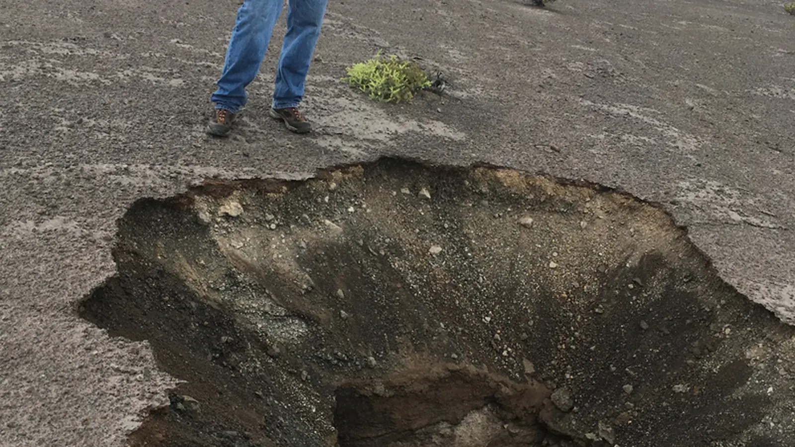
A sinkhole forms when material beneath the surface is removed and the ground above moves into the resulting space. Some develop gradually as a depression. Others appear suddenly when a supporting layer fails.
The dramatic opening is the final visible event. The underground changes that made it possible may have been developing for much longer.
Dissolving rock creates space
Many natural sinkholes occur in landscapes underlain by soluble rocks, including limestone, gypsum or salt. Water moving through openings can dissolve material and enlarge pathways over time. Landscapes shaped by such dissolution are commonly described as karst.
The process is not simply water “drilling” a neat cylindrical hole. Fractures, rock type and groundwater flow influence where openings develop and how they connect. The surface may reveal only a small part of the underground system.
Why some depressions grow slowly
Where loose, permeable cover allows sediment to move down into openings, the surface may subside progressively. The USGS distinguishes this gradual behaviour from sudden collapse.
A slowly developing depression can therefore share a basic cause with a spectacular hole while looking very different. The nature and thickness of the overlying material help determine which behaviour occurs.
A cavity can remain hidden until support fails
More cohesive cover may temporarily bridge an enlarging space. Material can continue to move beneath it until the remaining roof can no longer support the load. Failure then produces a cover-collapse sinkhole.
This explains the apparent contradiction between an ordinary-looking surface one day and a large opening the next. Sudden appearance does not require every part of the process to have happened overnight.
Water-level changes can matter
The British Geological Survey describes how drought and groundwater abstraction can contribute to sinkhole development. Changes in water conditions can alter support and movement of sediment in susceptible ground.
Heavy rainfall, modified drainage and construction may also interact with the local geology. However, proximity to a storm or a building project alone does not establish the cause of an individual collapse. Site investigation is needed to connect a particular event with the underground conditions.
Not every hole has the same origin
Leaking utilities, mine workings and other failures can create surface depressions that resemble natural sinkholes. Photographs of an opening rarely provide enough information to distinguish these mechanisms reliably.
Geological maps and records help identify susceptible areas, but they are not precise forecasts of where the next collapse will occur. The useful scientific explanation combines rock dissolution, movement of cover material and changes in water or loading. That combination accounts for why sinkholes cluster in some landscapes and why neighbouring sites can still behave differently.
Explore a related question
How Aquifers Store and Release Groundwater
Sources and further reading
Keep exploring.
One remarkable idea at a time—nature, science, history and beyond.
Last updated October 27, 2026.

Barnakle Editorial Team
Barnakle Editorial Team is the collective byline used for Barnakle’s editorial articles. The contributor profile explains the team identity and links to the publication’s editorial policies.
More from the editorial team →